The research project BahnRaum deals with the strategies for rail-oriented settlement development and acccessibility optimization at transport stations on a local and regional level. The focus is set on rural areas as well as on smaller urban areas. BahnRaum was realized in cooperation with the following project partners:
- Vienna University of Technology, Faculty of Spacial Planning, Department of Transport System Planning
- Vienna University of Technology, Institute of Transport Science, Research Area for Transport Planning and Technology
- stadtland, DI Sibylla Zech GmbH
As part of an analysis of the state of the art, existing methods from spatial and traffic planning as well as tools for accessibility measurement (GIS network analysis tools, land use models, macroscopic traffic modelling) were first investigated and evaluated.
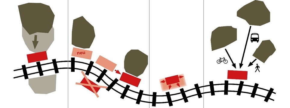
On the basis of case studies, it was shown how planning processes involving relevant actors, combinable strategies (settlement development, adaptation of the station network, adaptation of the degree of expansion and improvement of the traffic link), planning instruments and methods succeed in improving the potential of the railway through active spatial planning and, conversely, positively influence the spatial development by the railway as a driving force.
For five test regions in Upper Austria and Carinthia, accessibility analyses were carried out with the multimodal networker of the graphene integration platform (gip.at). For this purpose, the project developed its own PostgreSQL/ PostGIS scripts in which an automated linking of isochrone calculations with the structural data potentials takes place on site.
